Your Feature Complete Solution!

Input File Support:
• Translates all AutoCAD DXF and DWG versions including AutoCAD 2025.
• Extended Entity Data (Xdata) translation.
• Additional XDATA types.
Shapefile output:
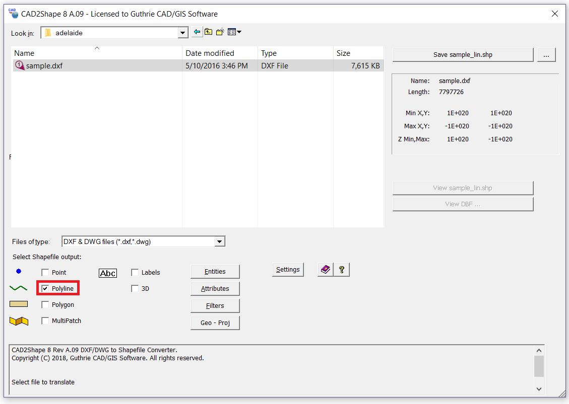
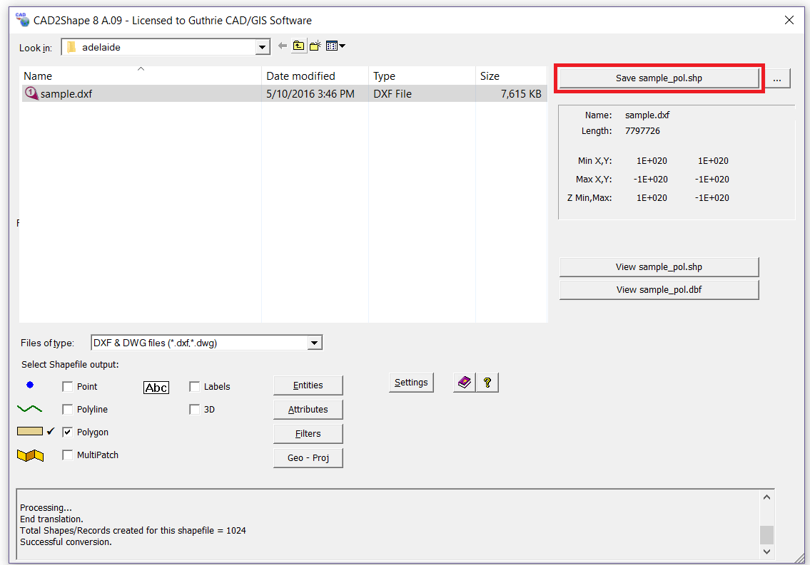
• Translation to 2D shapefiles(Point, Polyline, Polygon and Multipoint).
• Translation to 3D shapefiles(PointZ, PolylineZ, PolygonZ, MultipointZ and Multipatch).
• Translate 3D surfaces to MultiPatch shapefile types.
• MPolygon support.
Attributes/ text translation:
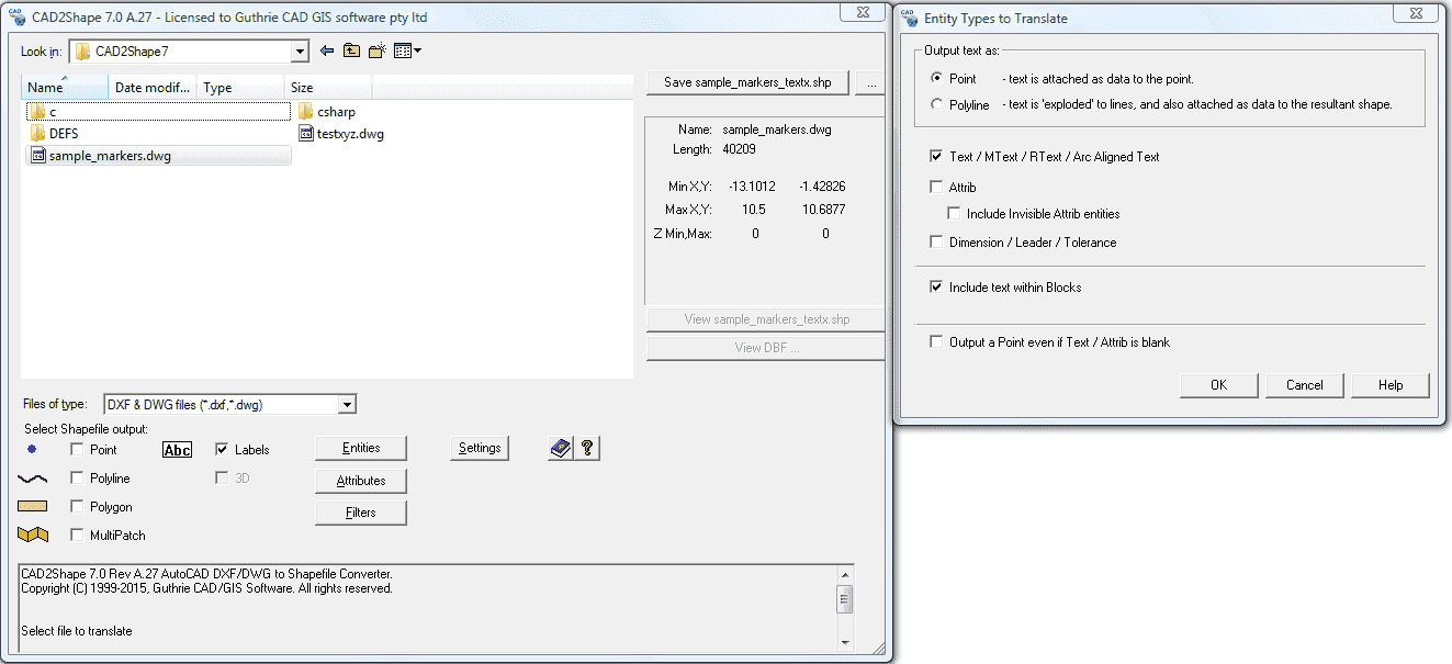
• Keep AutoCAD Annotation objects when converting DXF/DWG to ESRI ArcGIS Shapefile (Attributes translation).
• Text to 'Labels Theme'.
• Text to exploded polyline option. - allows direct translation of CAD Text to visible text in ArcGIS/ArcMap/ArcView. The resultant text and placement will be visually identical to that in the originating CAD drawing.
• Create feature attributes from ATTRIB data, Xdata, Entities properties and User defined attributes.
Z (Elevation) Value conversion:
• Attach Z value as 'Elevation' data.
Polygon conversion:
• Translate holes / islands /donuts from originating CAD drawing to Polygon shapefile.
• Close Polygon gaps.
Useful conversion features:
• Batch conversion via command line.
• Filter by Layer, Area, Color, Entity.
• Layers control - translate only the CAD Layers that you require.
• Region control - translate the whole drawing or a selected area.
AutoCAD drawing features:
• Translate AutoCAD entities (point, line, polyline, circle, Arc, Hatch, 3D face, 3D mesh etc.).
• Dimensions/Leader/Tolerance support.
• Length attribute for polylines.
Other converter features:
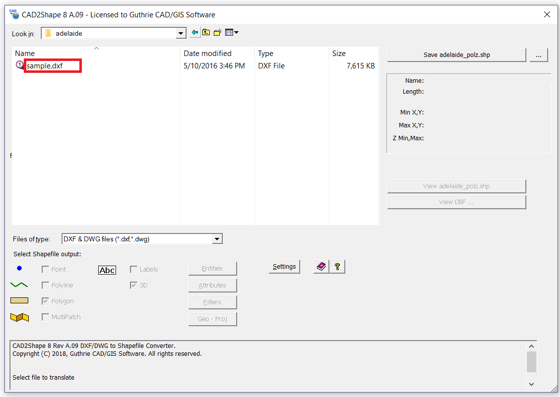
• Stand-alone CAD to Shapefile conversion.
• Built in projections.
• Suport coordinate system (Lat/long degrees, UTM WGS83/NAD84, Gauss-Kruger and SIRGAS 2000).
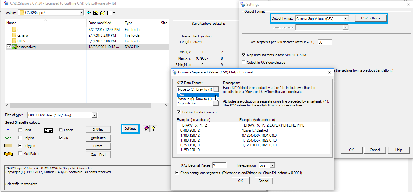
• Optionally output to Excel/CSV, XYZ file.